West District Sector Maps
The West District includes all City of Joliet areas west of the The 'Joliet Junction Trail' / Gaylord Rd in both Will and Kendall counties, and currently has 6 Sectors (30 - 35). It includes:
- Joliet Police West Sub-Station (7196 Caton Farm Rd, Plainfield, IL 60586).
- The west business areas (Mall Loop, Rt 59, Essington Rd, W Jefferson St).
- The west commercial areas (I-80 & Houbolt Rd area, McDonough St & Caterpillar Dr area).
- Plainfield South High School & Joliet Junior College
- Glenwood Manor, Old Kent, Twin Oaks, Timbers, Sanctuary, Autumn Lakes, Beaver Creek, Warwick, Picardy, Wexford, Grand Prairie, Chase Lakes, Heritage Lakes, Lakewood Falls, Cambridge, Springwood, Caton Crossing, County Glen, Riverbrook, Wedgewood, Brighton Lakes, Wesemere, Mayfair, Cumberland, Clublands, Greywall, and Lakewood Prairie neighborhoods.
- Hollywood Casino.

Sector 30
Includes business areas (Essington Rd, W Jefferson St), and Glenwood Manor, Old Kent, Twin Oaks, Timbers, Sanctuary, Autumn Lakes, Beaver Creek, Warwick, Picardy neighborhoods.

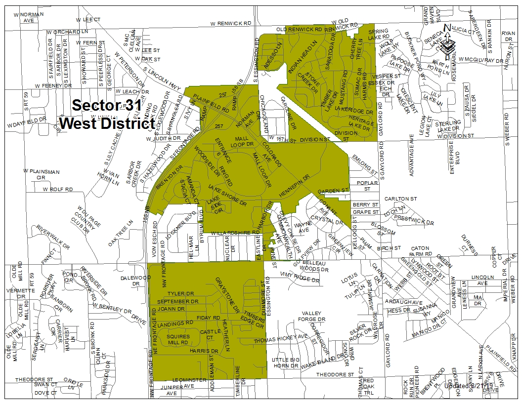
Sector 31
Includes the Mall Loop business area, and Wexford, Grand Prairie, Chase Lakes, Heritage Lakes, Lakewood Falls neighborhoods.
Sector 32
Includes the W Jefferson St business area, Joliet Junior College, commercial areas (I-80 & Houbolt Rd area, McDonough St & Caterpillar Dr area), Hollywood Casino, and Cambridge and Springwood neighborhoods.

Sector 33
Includes the Rt 59 business area, and Caton Crossing, County Glen, Riverbrook Estates neighborhoods.

Sector 34
Includes the Rt 59 business area, and Wedgewood, Brighton Lakes, Wesemere, Mayfair neighborhoods.

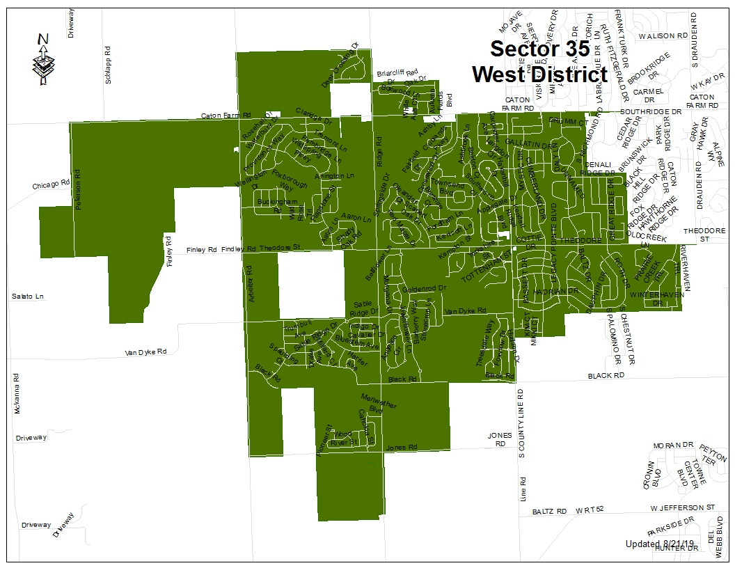
Sector 35
Includes Plainfield South High School, the Joliet Police West Sub-Station (7196 Caton Farm Rd, Plainfield, IL 60586), and Cumberland, Clublands, Greywall, Lakewood Prairie neighborhoods.