Central District Sector Maps
The Central District includes all City of Joliet areas bordered by the Des Plaines River (to the east), Theodore St (to the north), the 'Joliet Junction Trail' (to the west), and Interstate 80 (to the south). The Central District currently has 6 Sectors (20 - 25). It includes:
- Amita Presence St. Joseph Medical Center.
- The central business areas (Plainfield Rd area, Larkin Ave area, W Jefferson St area).
- Joliet Township West High School.
- St. Pat’s, Reedwood, Idyleside, Midland West, Cathedral, St Mary's, Cunningham, Garnsey, Old Plank, Emerald Lawns, Briargate, Bridal Wreath, and Marycrest neighborhoods.

Sector 20
Includes business areas (Plainfield Rd area, Larkin Ave area, W Jefferson St area), and Midland West, Cathedral, Emerald Lawns, Briargate neighborhoods.

Sector 21
Includes Plainfield Rd business area, and St Mary's, Cunningham, Garnsey, Old Plank neighborhoods.

Sector 22
Includes Cathedral and St Mary's neighborhoods.

Sector 23
Includes W Jefferson St business area, and St. Pat’s and Reedwood neighborhoods.

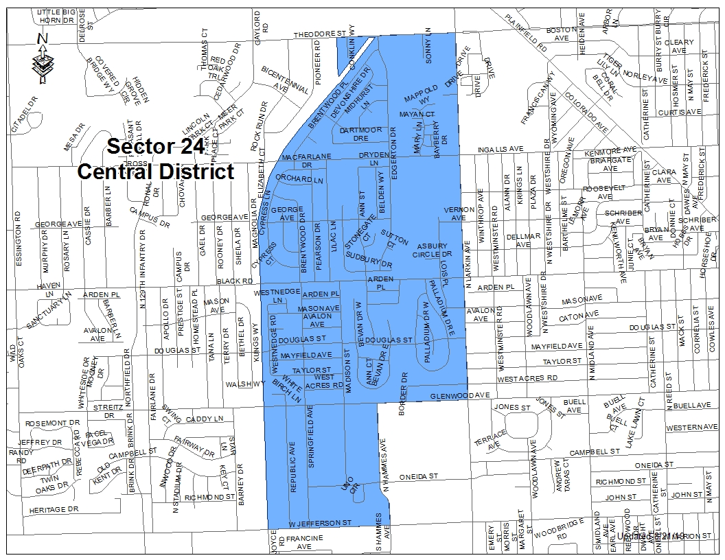
Sector 24
Includes business areas (Larkin Ave area, W Jefferson St area), Amita Presence St. Joseph Medical Center, and Bridal Wreath neighborhood.
Sector 25
Includes business areas (Larkin Ave area, W Jefferson St area), Joliet Township West High School, and Midland West and Marycrest neighborhoods.
